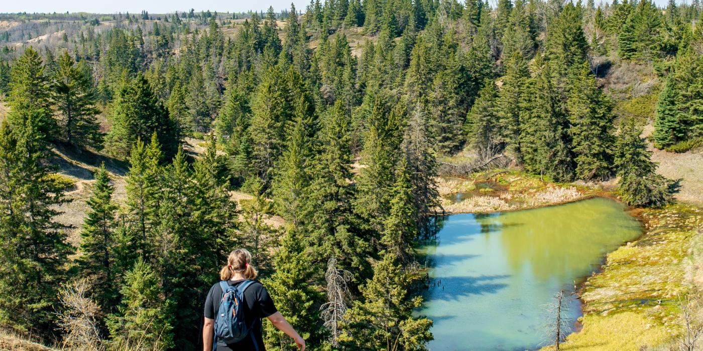
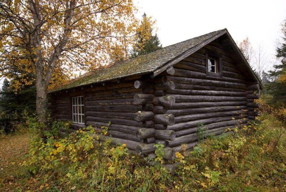
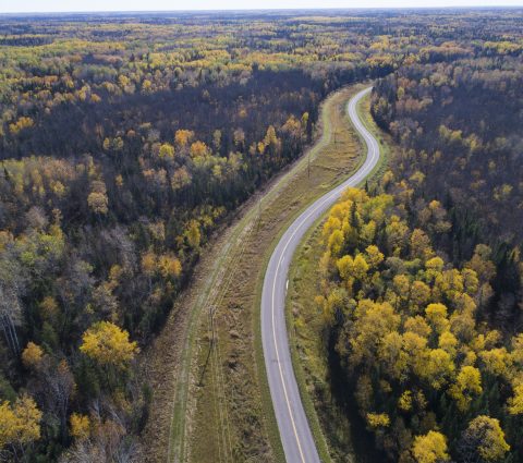
Take a hike: 6 amazing trails in Manitoba

Posted March 29, 2023

Hiking in Manitoba means you never need to worry about altitude sickness. But that’s not to say the province’s broad, sweeping canvas is bland. Mother Nature painted in tall wild grass prairie, rolling, forested hills, undulating river valleys, vast wetlands and the occasional view-encompassing escarpment. For even more variety, she sketched in innumerable lakes and rivers dotted with granite and limestone outcroppings, set among deep deciduous and evergreen forests.

Distance: 66 km (3 to 5 days, or day hike up to 6 hours)

The longest Canadian Shield trail in Western Canada, the Mantario runs 66 kilometres south to north along the Manitoba-Ontario border in Whiteshell Provincial Park. It’s a tough go, one that takes experienced backpackers three to five days, but the trail’s wild beauty is well worth experiencing even if it’s just a day hike along the first leg. From the south trailhead on Provincial Road 312 near Caddy Lake, day trippers cross rugged aspen, Jack pine and spruce-forested valleys, the Whiteshell River (by footbridge) and two sets of railway tracks-carefully, as both are still in use.

Spirit Sands & the Devil’s Punchbowl

Distance: 4 to 11 km (1.5 to 4.5 hours)

Two hours west of Winnipeg, Spruce Woods Provincial Park’s pine forest and boreal woods blend with grassy hills and the meandering Assiniboine River. Perfect for families, the main trail affords hilltop views of the Devil’s Punch Bowl, a unique crater-shaped lake near the Assiniboine. On the return leg, journey through white spruce, oak and aspen forest and mixed grass prairie to discover a geological surprise: towering, 30-metre sand dunes.

Black Lake Hiking Trail

Distance: 8 km (2 to 2.5 hours)

If you're lucky enough to visit Nopiming Provincial Park this summer, you'll quickly realize that the park is one of the best areas in Manitoba for rugged, outdoor exploration. Hike over rolling terrain along the Black Lake Hiking Trail and be rewarded with a picturesque set of rapids.

Pisew Falls to Kwasitchewan Falls Trail

Distance: 22 km (6 to 8 hours)

In northern Manitoba, off Provincial Highway 6 and 70 km south of the small city of Thompson, a hiking trail skirts the Grass River from the Pisew north to the Kwasitchewan Falls, Manitoba’s highest waterfall at 14.2 metres. At Pisew Falls, the Grass River suddenly drops 13 metres, changes direction and jets noisily down a gorge. And it is here that the trail starts, tracing this key waterway of the Upper Track, a late 1700s fur trade route. Spruce, pine, tamarack and poplar provide shady habitat for northern wildlife; backcountry campsites at the far end of the trail service overnight backpackers. Enjoy a picnic and the rotary bridge at Pisew Falls before your big adventure begins.

Grey Owl's Cabin Trail

Distance: 14.8 km (3.5 to 4 hours)

Grey Owl Trail leads hikers to the Beaver Lake cabin built by the famed naturalist. Along with his pet beavers Rawhide and Jelly Roll, Grey Owl lived here in Riding Mountain National Park for six months in 1931 as the first naturalist hired by Canada’s national parks system. The trail weaves through quiet aspen, balsam, poplar, Jack pine and white spruce forests punctuated with swamps and marshes, home to beaver, muskrats, moose and waterfowl. Coyotes and white-tailed deer can be spotted in the evenings.

Exploring Grey Owl's cabin: Historic MNP adventure awaits.

Distance: 5 km (1 hour)

Across a causeway off Provincial Highway 8, Hecla Island is the major attraction of Hecla/Grindstone Provincial Park. Journey along the Lighthouse Trail with its stunning views of the shoreline with Lake Winnipeg on one side and Gull Harbour on the other, until you arrive at the island’s lighthouse and most iconic feature. Tree lined paths make way for pebbles and sand. There are also washroom and garbage reliefs along the way!