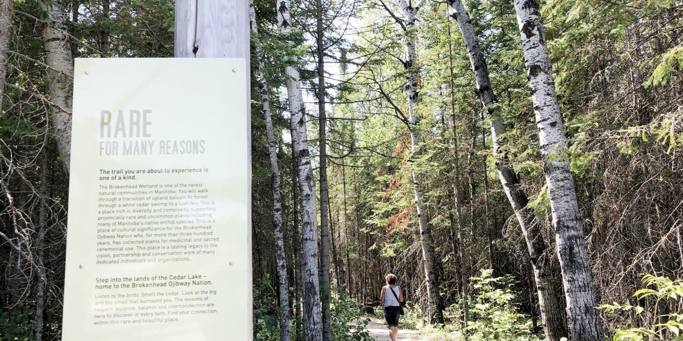
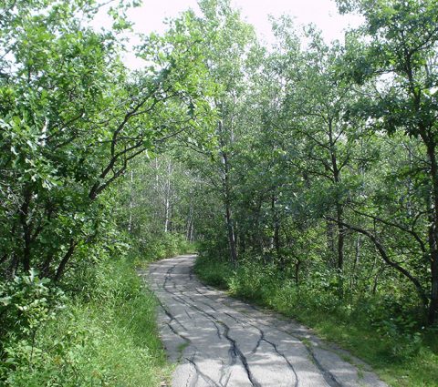
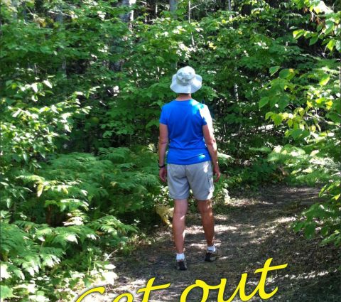
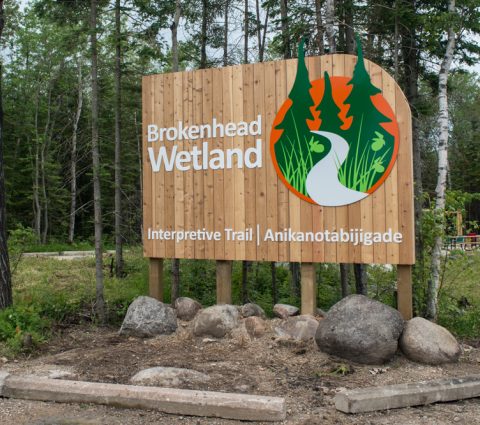
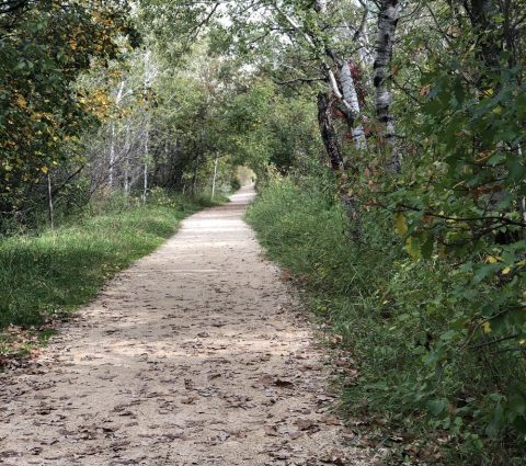
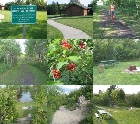
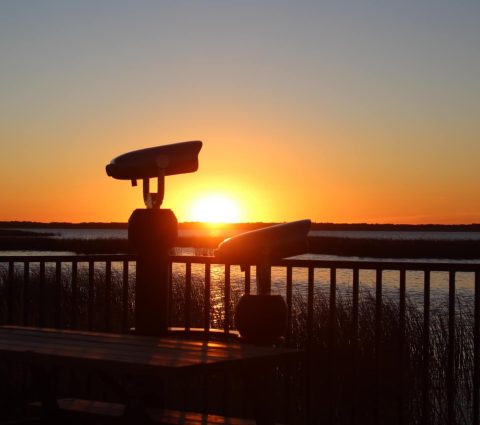
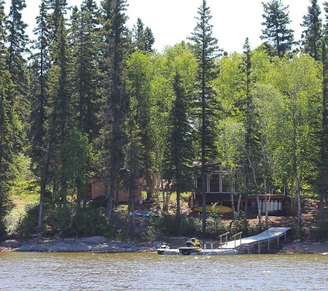
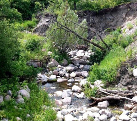
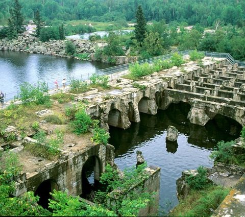
A woman walking down Brokenhead Interpretative Trail with an informational sign about the trail visible

Explore Manitoba’s Hiking Trails

Just you and thousands of kilometres of picturesque prairie trails.

Wandering through Manitoba’s trails and parks is a favourite pastime for locals and visitors alike. Whether you prefer to hike by a lakeshore or over marshland boardwalks, there’s an abundance of paths to choose from in Canada’s friendliest province.

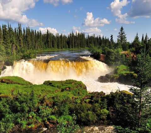
From the sweeping views atop the escarpment of Riding Mountain National Park and the lush wilds of the boreal forest in Whiteshell Provincial Park to northern Manitoba's most challenging trail—Kwasitchewan Falls, there’s no lack of breathtaking hiking opportunities in Manitoba.

Hiking Musts in Manitoba

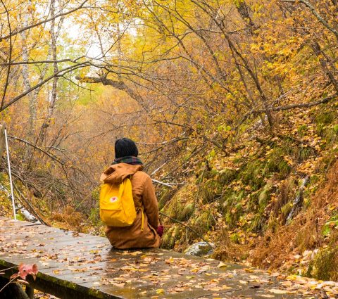
10 Manitoba Hiking Trails That Are Amazing in Fall

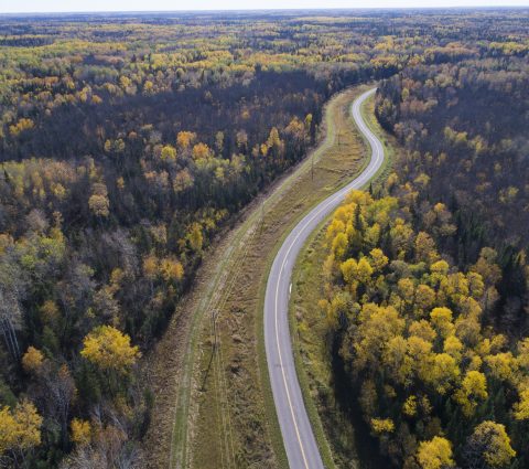
Embrace the kaleidoscope of colours that paint the landscapes as fall gracefully descends upon Manitoba. If you're an eager explorer or a budding nature enthusiast, you're in for a treat.

20 Hidden Hiking Trails in Manitoba You Need to Explore

Across the province, from the sandy hills of Spruce Woods to the ancient limestone cliffs of Steep Rock, there are routes that reward the curious hiker with views, wildlife and stories most visitors never find. Here are 20 trails worth adding to your...

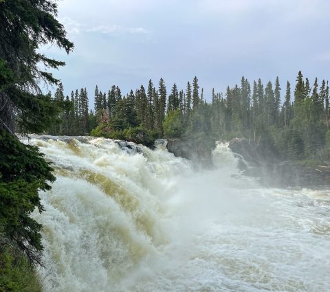
Northern Manitoba’s Most Challenging Trail: The Kwasitchewan Falls Hike

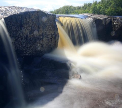
Have you been longing to witness the majestic beauty of Kwasitchewan Falls, Manitoba’s tallest waterfall? If so, read on. This blog post breaks down the trek through Pisew Falls Provincial Park, a haven of natural wonders, and explores the breathtaking...

14 Scenic Viewpoints for Waterfalls and Rapids Across Manitoba

Manitoba is home to over 100,000 lakes and waterways, prime for paddling, swimming, fishing and lounging beach-side in nearly every corner of the province. All that water creates spectacular waterfalls and tumbling rapids that are well worth the detour.

Trans Canada Trail is the world’s longest network of recreational multi-use trails. It connects Canadians and promotes conservation. In Manitoba, many stretches of the trail provide access to unique historical sites, totaling over 1,400 kilometres throughout the province.

One such leg is Crow Wing. It weaves along the traditional route of free Métis trader Peter Garrioch and his crew. Take the trail to visit St-Pierre-Jolys and its attractions for a lesson in early French-Canadian and Red River Métis history, including the Musée St-Pierre-Jolys and historic Maison Goulet.

Explore northern routes with a walk along the floating boardwalk in Opasquia on Grace Lake, near The Pas, or Flinty’s Boardwalk that wraps around the spectacular rocky shores of Ross Lake.

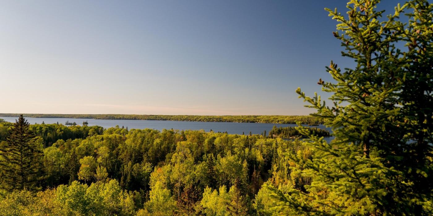
A view on Falcon Lake from Falcon Trails
FALCON LAKE
Onishkatoon Gwaykaadiziwin Trail
Marvel at the exposed ridges of glacially-carved granite as you journey through vast wetlands surrounded by the boreal forest. Be prepared for lots of climbing on this 16-km trail

Did You Know?

The longest trail in Manitoba is Mantario Trail. Named after the neighbouring provinces of Manitoba and Ontario, the challenging 60+ km trail runs along rugged Precambrian terrain and is recommended for experienced hikers only. It takes most groups three to five days to complete.

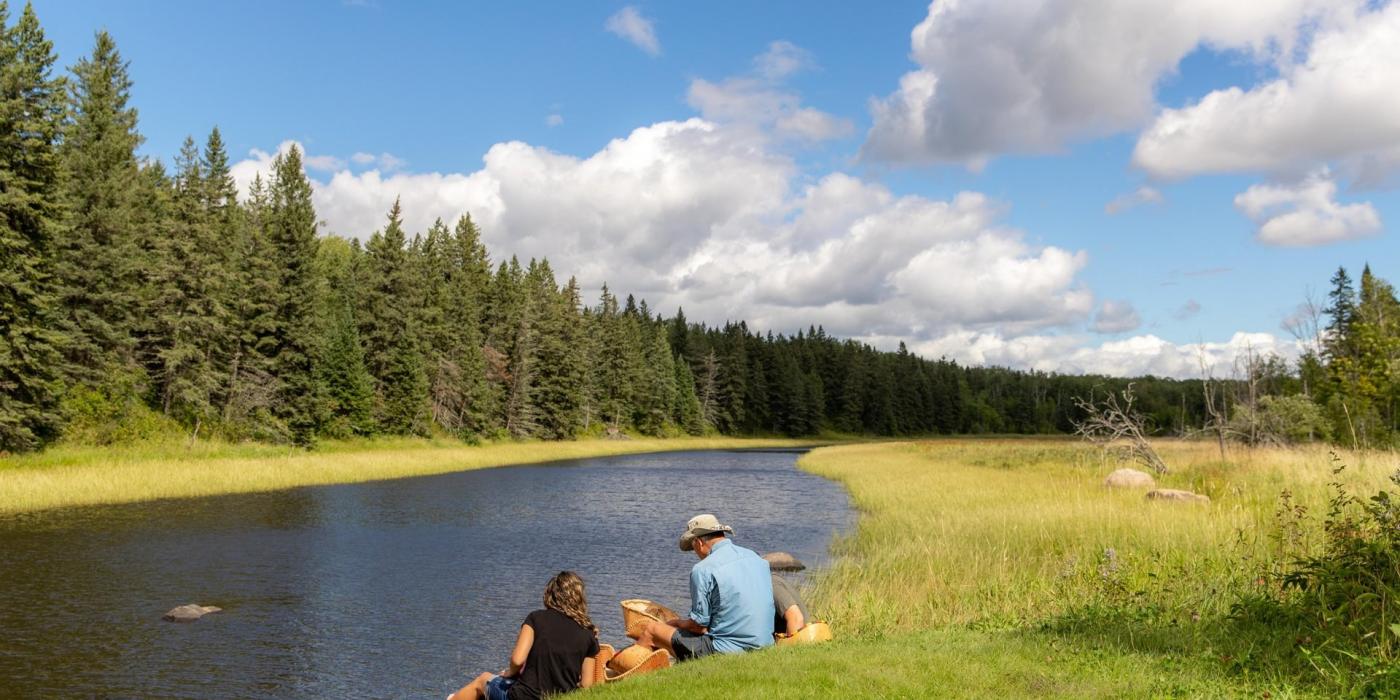
A couple sitting by a creek in Whiteshell Provincial Park
HIKER’S PARADISE
Whiteshell Provincial Park
Relax on a slow hike, taking in the stillness of nature, or power walk through nearly 300 kilometres of awe-striking views of the Canadian Shield

Hiker’s Hidden Gem

While most of Manitoba is prairies, boreal forest and tundra, there are desert-like landscapes in the province. The Spirit Sands hike in Spruce Woods Provincial Park is a striking 6.5 km stretch of shifting sand dunes. The spring-fed pond Devils Punch Bowl is one of the hike's most rewarding points.

Floating boardwalk in Riding Mountain National Park
NEARLY 370 KM OF TRAILS
Riding Mountain National Park
Visit Clear Lake, explore charming Wasagaming and enjoy prairie vistas from elevations along the Manitoba Escarpment

Winter-Ready?

Riding Mountain National Park is magical during the warmer months, but did you know that nearly 130 kilometres of its trails are groomed for winter activities like cross country skiing, snowshoeing and fat biking? This makes it second only to Banff National Park when it comes to the number of groomed winter trails in Canadian parks.

Featured Experiences

Central Manitoba Tourism Association

Explore the Scenic Link Between Winkler & Morden

Experience the Stanley Community Pathway—a safe, paved 10 km walking and biking route connecting Winkler, Morden, and the Boundary Trails Health Centre. Perfect for recreation and everyday travel.

Interlake Tourism Association

Top Trails You’ll Find Smack Dab in the Middle of the Interlake

The Interlake region may be famous for its big lakes, but plenty of trail charm lies in the heartland. This season, discover a network of centrally located trails that will take you on a journey through historic settlements, sweeping prairies, quiet...

South Beach Casino and Resort

Stay and Play With Us

Stay & Play Package: One-night Deluxe Guest Room stay, $15 food & beverage voucher, $20 free play per person and 1 pm late check-out. Visit SouthBeachCasino.ca for details.

Find More Hiking Trails

Provincial Parks

Asessippi Provincial Park

Dauphin District Office
Box 10, 27 - 2nd Ave SW
Dauphin, MB R7N 3E5

Hiking & Biking Trails

Assiniboine Forest

Between Chalfont Avenue and Shaftesbury Boulevard
Winnipeg, MB .

Provincial Parks

Atikaki Provincial Wilderness Park

Sustainable Development, Lac du Bonnet District Office
Box 850
Lac du Bonnet, Manitoba R0E 1A0

Provincial Parks

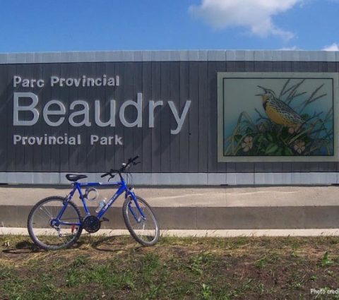
Beaudry Provincial Park

Winnipeg District Office
Box 30, 200 Saulteaux Crescent
Winnipeg, MB R3J 3W3

Provincial Parks

Birch Point Campground

Steinbach District Office
Unit B - 284 Reimer Ave
Steinbach, Manitoba R5G 0R5

Provincial Campgrounds

Birds Hill Provincial Park

BOX 183 RR#2, Hwy 206 north on Garvin Road, Driveway Marker # 68
Dugald, MB R0E 0K0

Provincial Parks

Burge Lake Provincial Park

Thompson District Office, Box 28, 59 Elizabeth Rd
Thompson, Manitoba R8N 1X4

Provincial Campgrounds

Camp Morton Provincial Park

Sustainable Development, Winnipeg Beach District Office
Box 388
WInnipeg Beach, MB R0C 3G0

Hiking & Biking Trails

Canupawakpa Nature Trail

1 Mile East of Reston on PTH #2, Approximately 1 Mile North
Reston, MB .

Provincial Parks

Clearwater Lake Provincial Park

Sustainable Development, The Pas District Office
3rd Street and Ross Avenue
The Pas, MB R9A 1M4

Hiking & Biking Trails

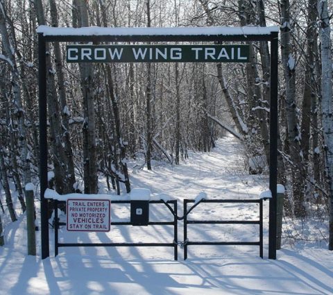
Crow Wing Trail

191 km Trail connecting Emerson to Winnipeg
Emerson, MB .

Provincial Parks

Duck Mountain Provincial Park

Swan River District Office, Sustainable Development
Box 640
Swan River, MB R0L 1Z0

Provincial Parks

Grand Beach Provincial Park

Sustainable Development, Grand Beach District Office
Box 220
Grand Beach, MB R0E 0T0

Provincial Parks

Grass River Provincial Park

Sustainable Development, Flin Flon Distrist Office
203 - 143 Main Street
Flin Flon, MB R8A 1K2

Hiking & Biking Trails

The Harte Trail

5006 Roblin Blvd, Shaftsbury Blvd & Wilkes Ave.
Winnipeg, MB R3R2P9

Provincial Parks

Hecla Provincial Park

Sustainable Development, Riverton District Office
Box 70
Riverton, MB R0C 2R0

Hiking & Biking Trails

Jackpine Wayside Park

21km/13 miles west of Alonsa, Highway 50
Alonsa, MB R0H 0A0

Hiking & Biking Trails

Kendrick's Outdoor Adventures

1 Forks Market Rd Winnipeg, MB R3C 4L8, 1961 McCreary Rd Winnipeg MB R3P 2K9
Winnipeg, MB R3C4L9

Provincial Parks

Lundar Beach Provincial Park

Sustainable Development, Winnipeg District Office
Box 30, 200 Saulteaux Crescent
Winnipeg, MB R3J 3W3

Hiking & Biking Trails

Malaher Trail

West on PR 445 From Melita, Turn north at Road 158W
First driveway on the east side 158W
Melita, MB .

Provincial Parks

Manipogo Provincial Park

Sustainable Development, Dauphin District Office
Box 10, 27 - 2nd Ave SW
Dauphin, MB R7N 3E5

Provincial Parks

Nopiming Provincial Park

Sustainable Development, Lac du Bonnet District Office
Box 850
Lac du Bonnet, MB R0E 1A0

Provincial Parks

Paint Lake Provincial Park

Sustainable Development, Thompson District Office
Box 28, 59 Elizabeth Rd
Thompson, MB R8N 1X4

Provincial Parks

Pembina Valley Provincial Park

Sustainable Development, Winnipeg District Office
Box 20, 200 Saulteaux Crescent
Winnipeg, MB R3J 3W3

Natural

Pine Point Rapids

Sustainable Development, Seven Sisters District Office
Box 9
Seven Sisters, MB R0E 1Y0

Natural

Pisew Falls-Kwasitchewan Falls

Sustainable Development, Thompson District Office
Box 28, 59 Elizabeth Rd
Thompson, MB R8N 1X4

Frequently Asked Questions

Where can I find day trip hiking trails, multi-day hiking trails?

Trails Manitoba offers handy maps with summer and winter trails that include estimated time to complete each trail, so you can select the trail that fits your timeline. On AllTrails, you can filter trails by length and difficulty levels, as well as distance from your location. Try Trail Forks app for detailed trail information and offline maps.
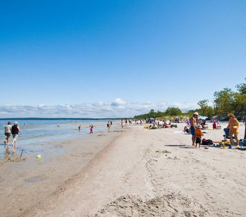
Blueberry Rock Trail is an easy 1.8 km loop on the Trans Canada Trail. Blueberry Rock Trail crosses granite landscape alongside a forest. Hike for a view of the Canadian Shield and the open rock quarry.

Turtle’s Back Loop is a moderate trail 6.4 km in Turtle Mountain Provincial Park. The trail climbs to one of the park’s highest points providing an unobstructed view of the hills of southwestern Manitoba.

Centennial Trail is a multi-day trail in Whiteshell Provincial Park that stretches 35 km across the boreal shield, high granite ridges, areas of bog and forest ecosystems. The trail culminates in one of the most scenic waterfall destinations in the Whiteshell, McGillivray Falls.

Browse 20 spectacular trails in Manitoba here.

Where can I find family-friendly hiking trails?

Use trail filters on AllTrails to find trails in easy and moderate difficulty levels. Use an AI-powered assistant on travelmanitoba.com to pick the best trail for your skill level (click the red chat icon in the bottom-right corner of the page to begin) and visualize it on a map.

1.4 km Ominnik Marsh Trail in Riding Mountain and 1.8 km Blueberry Rock Trail in Lac du Bonnet are some of the best choices for a family hike. Explore diverse wetland ecosystems, spot birds and other wildlife.

For slightly more challenging hikes, check out 3 km Oxbow Nature Trail that follows the Little Saskatchewan River through a marsh walk, crosses a swinging bridge and circles past a bison compound. 4.4 km Little Steep Rock Trail is another option if you want to see the limestone cliffs along Lake Manitoba’s eastern shore. The rocks that are part of the Devonian formation dating back 350 million years tint the water here a spectacular turquoise colour.

How to find accessible hiking trails in Manitoba?

Provincial parks in Manitoba have plenty of trails accessible to visitors with different mobility ranges. The Bur Oak Trail in Birds Hill Provincial Park and Blue Trail in St. Malo Provincial Park are mobility-friendly 1-km trails that offer scenic views of an aspen forest and lakeshore, respectively.

Browse the list of accessible trails here.

How to track your hiking progress?

Track distance covered, speed and even get predictions on when you’ll complete a hike with specialized apps like Strava or AllTrails.

What are the best trails in Whiteshell Provincial Park?

Some of the best trails in /whiteshell-provincial-park/ are Hunt Lake Trail, Top of the World Trail and Pine Point Rapids. Hunt Lake Trail is a challenging 12.6 km round-trip hike that takes three to six hours to complete. You’ll go along the rocky terrain along the steep shores of Hunt Lake and West Hawk Lake. 4 km Top of the World Trail culminates in a 180-degree view of Falcon Lake. This will take you between one hour and an hour and a half to complete.

Pine Point Rapids near Nutimik Lake is a longer 8.2 km trail that showcases Manitoba’s forests, rapids and waterfalls. Plan approximately three to four hours for this hike.

How to avoid getting lost while hiking in Manitoba?

Many parks and trails may fall outside your cell provider range, so make sure you download the map of the area before you head out. You can download an area map on Google Maps or specialized hiking apps like AllTrails and Trail Forks. Bring a paper map and a compass on your hike and make sure you always stay on marked trails to avoid dangerous cliffs, slippery rocks or getting lost.

Make sure your phone and GPS tracker are fully charged and pack hiking emergency essentials, including sufficient water and food for the duration of your hike and any detours. Remember to bring a flashlight, first-aid kit, emergency shelter, sun and bug protection.
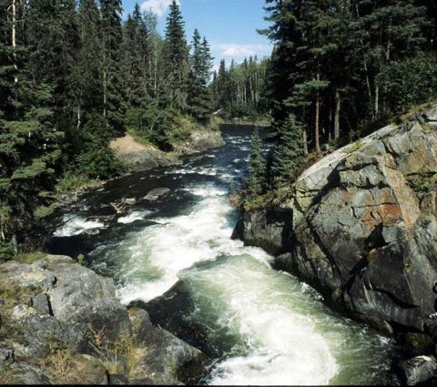
Pay attention to your surroundings as you hike. Remember which path got you to your current location in case you need to trace your steps. Research advice from seasoned hikers before you head out.

How to stay hydrated while hiking?

Carry more water than you expect to need in case of unexpected delays or detours. Distance and weather will determine how much water each member of your group will need.

If you are heading out on a remote trail, bring enough food and water to get you through an unexpected overnight stay. For longer hikes, bring a water-treatment system as a backup in case you run out of water and need to use water from nearby rapids or lakes in case of an emergency.

Learn what to pack for your hike from the Manitoba Chapter of the Canadian Parks and Wilderness Society.

How to avoid common hiking mistakes?

Not planning your hike well enough is one of the most common mistakes. Neglecting to bring sufficient provisions and getting too tired to complete your hike in the time you’ve allocated can turn your outing from an exciting adventure into a stressful problem. Make sure you plan your outing and research the route and common recommendations for the hike.

Other common hiking mistakes include picking a trail that’s too difficult for your skill level, wandering off the marked route, not bringing enough supplies or packing a heavy backpack, drinking untreated water, feeding or interacting with wild animals or touching or eating unknown plants. All of these can be dangerous and result in injury or loss of life. Avoid these by staying on marked trails, planning and adhering to Leave No Trace principles.

What are safety tips for hiking?

To stay safe on your hike, check conditions before you leave, pack the essentials to keep you hydrated, nourished and protected against the elements and wildlife. Plan for unexpected delays or detours, keep a respectful distance from wildlife and leave no trace. Be cautious around water as slippery rocks, flash floods or heavy rainfalls can be dangerous. Know what to do in emergencies and bring a first-aid kit. Check for wildfires or floods in the area before you head out on your trip.

Check the Know Before You Know page for more information.